National Weather Service Raises Severe Weather Risk in Brevard County to Enhanced, Tornadoes Possible
By Space Coast Daily // December 20, 2018
potential for a few tornadoes to occur
Update for Severe Weather Risk Tomorrow (12/20):
Most of east central FL has been upgraded to an “Enhanced” risk of severe weather. The hazards remain the same, but the likelihood of several damaging wind events has increased.Keep an alerting device handy tomorrow! Please RT pic.twitter.com/cILH6RP4AS
— NWS Melbourne (@NWSMelbourne) December 19, 2018
The National Weather Service in Melbourne, Florida has raised the risk of severe weather for today to”Enhanced” for Central Florida, including all of Brevard County.
BREVARD COUNTY, FLORIDA – The National Weather Service in Melbourne, Florida has raised the risk of severe weather for Thursday to”Enhanced” for Central Florida, including all of Brevard County.
A powerful storm system will develop and move east over the Gulf Coast and the southeast U.S. through Thursday.
Ahead of the system, increasing moisture and instability, strengthening winds and favorable shear will bring the potential for strong to severe thunderstorms Thursday, mainly during the afternoon and early evening.
Strong or damaging wind gusts, frequent lightning, and local flooding from torrential rainfall are likely to accompany these storms as they move rapidly east to northeast across the peninsula.
There is also the potential for a few tornadoes to occur. The storm system will drag a cold front across central Florida Thursday night.
Strong, gusty west winds are expected on Friday. Increasing winds over the Atlantic will produce hazardous marine conditions Thursday through Saturday, with winds near gale force late Thursday through Friday night.
Residents and visitors should monitor the latest forecasts and statements concerning this storm system, as well as the potential
for severe weather.
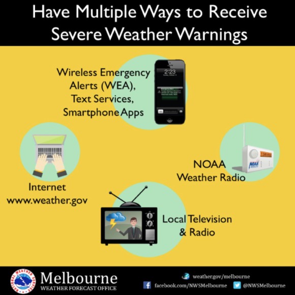
Now is a good time to review your severe weather action plan, and to make sure you have at least one or two methods of receiving timely severe weather information, in case any watches or warnings are issued for your area.
STAY TUNED TO SPACE COAST DAILY FOR UPDATES THROUGHOUT THE DAY
BREVARD COUNTY FORECAST:
 Related Story:
SPACE COAST DAILY TV: ‘On the Town’ Visits Space Coast Homes Decorated for the Holidays
CLICK HERE FOR BREVARD COUNTY NEWS


