Tropical System in Atlantic Falls Apart in Latest National Hurricane Center Report
By Space Coast Daily // August 12, 2022
hurricane season ends November 30
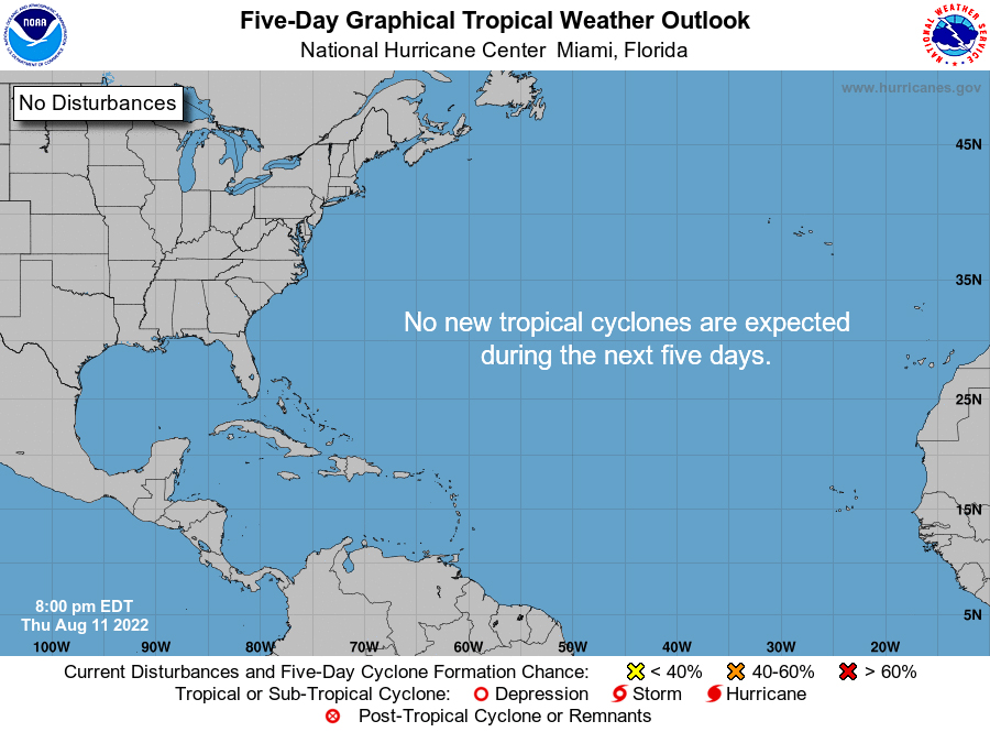
 BREVARD COUNTY, FLORIDA – National Hurricane Center’s latest Atlantic 5-Day Graphical Tropical Weather Outlook report shows the tropical wave that formed off the African coast has fallen apart and is no longer a threat.
There are currently no tropical cyclones/ systems over the next five days in the Atlantic, according to NHC.
As the Atlantic hurricane season enters peak time, this season has not had much action, compared to recent years.
Despite the welcomed inactivity of this season so far, the hurricane season still runs through November.
Experts still advise that being prepared, even when there isn’t a threat, is the best time to restock on emergency supplies.
“Although it has been a relatively slow start to hurricane season, with no major storms developing in the Atlantic, this is not unusual and we therefore cannot afford to let our guard down,” FEMA Administrator Deanne Criswell said. “This is especially important as we enter peak hurricane season — the next Ida or Sandy could still be lying in wait.”
HURRICANE PREPAREDNESS TIPS
– Take action now, don’t wait for a hurricane to be prepared
– Have the proper plywood, steel or aluminum panels to board up the windows and doors.
– Remember, the garage door is the most vulnerable part of the home, so it must be able to withstand high winds.
Hurricanes are categorized on a 1 to 5 scale based on the maximum sustained surface wind speed, which is defined as the peak 1-minute wind at an unobstructed height of 33 feet. However gusts within a storm may be much higher than its sustained speed.
If a hurricane reaches wind speeds that correspond to categories 3, 4, and 5 on the scale, they are considered “Major Hurricanes.”
Once a storm reaches a certain category, it is always known by that category for historical purposes regardless of its intensity at landfall.
The word “Tropical Cyclone” includes all rotating, organized systems over tropical or subtropical waters, including tropical storms, hurricanes, and typhoons.
Most tropical waters across the world see tropical cyclones, and many areas have more on average than the Atlantic waters.
Hundreds of tropical waves and disturbances occur over the tropical Atlantic each year, but only a few become organized enough to be referred to as a “Tropical Depression.”
Once a system becomes a depression, it is assigned a number by the National Hurricane Center and officially tracked.
If winds reach 39 mph, it becomes a “Tropical Storm” and is assigned a name based off the list for that particular year.
We’ve used Ana already this year, and the next name will be Bill. Storms that reach 75 mph or greater become
“Hurricanes” and those that reach sustained wind speeds of 115 mph or greater are “Major Hurricanes.”
SPECIAL VIDEO FEATURE: In this two part series, above and below, Space Coast Daily Special Weather Correspondent Danny Treanor offers his expert tips about surviving the upcoming hurricane season on the Space Coast. Treanor has been Central Florida’s premier weatherman for five decades.


