HURRICANE MILTON UPDATE: Waste Management Releases Post-Storm Collection Schedule for Brevard County
By Space Coast Daily // October 10, 2024
No loose vegetative debris or bulky waste will be collected on Friday

BREVARD COUNTY, FLORIDA – Waste Management has announced the following post-Hurricane Milton collection schedule:
For Friday, 10/11 residential service, WM will collect carted garbage, carted recycle, and carted/containerized yard waste only, for those residents with regular Friday service.
No loose vegetative debris or bulky waste will be collected on Friday. Commercial service will follow its normal schedule.
Thursday residential garbage customers will be serviced on Monday, October 14. Thursday residential recycle and carted/containerized yard waste customers will be serviced on Thursday, October 17.
County and municipal officials are conducting damage assessments to determine if storm debris contractors will collect large, loose vegetative debris and bulky waste. An update will be issued when these decisions are finalized.
WM officials encourage residents to visit www.WMFloridaStorm.com for real-time service updates.
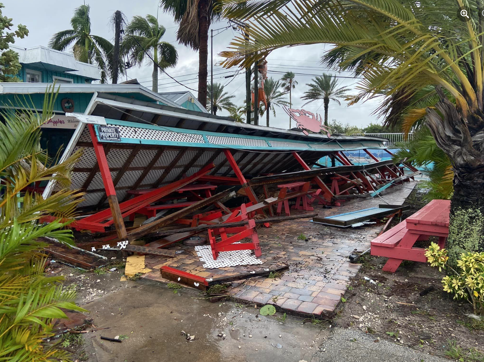
HURRICANE MILTON AFTERMATH: Scenes from Hurricane Milton Damage in Brevard County
WATCH: Hurricane Milton damage report from Cocoa Beach, 10/10. The Friday Night Locker Room’s Orville Susong provides coverage.
ABOVE VIDEO: Wells Fargo building in Cocoa Beach is completely destroyed.


WATCH: Live Hurricane Milton update and information with Brevard County Sheriff Wayne Ivey and Emergency Management Director John Scott on Thursday morning. The storm has left more than Brevard 90,000 homes without power, but there was not ant widespread major damage and no deaths despite up to 9 inches of rain on the Space Coast.

Hurricane Milton battered Brevard County as a Category 1 storm as the eye passed over the Space Coast between Titusville and Kennedy Space Center overnight on Thursday morning, bringing high winds, widespread power outages, downed trees and flooding.
The National Weather Service in Melbourne downgraded the hurricane to a tropical storm at 11 a.m. Thursday, and is about 140 miles east northeast of Cape Canaveral with sustained winds of 80 mph and moving east northeast at 20 mph.
On Wednesday afternoon, a tornado touched down in Cocoa Beach, causing limited damage to several homes and commercial buildings on State Road A1A.
Conditions are normalizing quickly as Publix announced most stores will be open today at 3 p.m.
The National Weather Service in Melbourne said showers and storms are still possible today, with possible wind gusts could be up to 50 mph.
■ Thursday: Tropical storm and possibly Hurricane conditions are expected, with hurricane conditions possible. Showers and possibly a thunderstorm. Some of the storms could produce heavy rainfall. High near 85. Chance of precipitation is 80%. New rainfall amounts between a half and three quarters of an inch possible.
■ Thursday Night: Showers likely and possibly a thunderstorm before 2 am, then a chance of showers and thunderstorms after 2am. Mostly cloudy, with a low around 75. Windy, with a north wind 20 to 25 mph, with gusts as high as 40 mph. Chance of precipitation is 60%. New rainfall amounts between a quarter and half of an inch possible.
■ Friday: A 30 percent chance of showers and thunderstorms. Mostly sunny, with a high near 84. Windy, with a north northeast wind around 20 mph, with gusts as high as 30 mph.
■ Friday Night: A 20 percent chance of showers and thunderstorms before 2am. Partly cloudy, with a low around 74. Windy, with a north northeast wind 15 to 20 mph, with gusts as high as 25 mph.
■ Saturday: Sunny, with a high near 83. North northeast wind around 15 mph, with gusts as high as 20 mph.
■ Saturday Night :Mostly clear, with a low around 72. Northeast wind 5 to 10 mph.
■ Sunday: Sunny, with a high near 83. East northeast wind 5 to 10 mph.
■ Sunday Night: Mostly clear, with a low around 71. East wind around 5 mph becoming south southeast after midnight.
■ Columbus Day: Sunny, with a high near 85. North northwest wind 5 to 10 mph becoming east in the afternoon.
■ Monday Night: Mostly clear, with a low around 71. East southeast wind around 5 mph becoming southwest after midnight.
■ Tuesday: A 20 percent chance of showers and thunderstorms. Mostly sunny, with a high near 85. West northwest wind 5 to 10 mph becoming north northeast in the afternoon.
■ Tuesday Night: A 20 percent chance of showers and thunderstorms. Mostly cloudy, with a low around 71. North northeast wind around 10 mph.
■ Wednesday: A 20 percent chance of showers. Partly sunny, with a high near 81. North northeast wind 10 to 15 mph, with gusts as high as 20 mph.
 Related Story:
HOT OFF THE PRESS! Sept. 30, 2024 Space Coast Daily News – Brevard County’s Best Newspaper