Melbourne Orlando International Airport Will Close to Commercial Flight Operations at 2 p.m. Wednesday
By Space Coast Daily // October 7, 2024
MLB will remain open during the duration of the storm for emergency operations
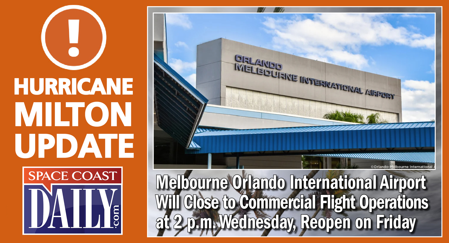
BREVARD COUNTY, FLORIDA – Melbourne Orlando International Airport will close to commercial flight operations at 2 p.m. Wednesday, and will reopen at 9 a.m. Friday due to Hurricane Milton.
“MLB will remain open during the duration of the storm for emergency operations,” said a MLB spokesperson.
“We remind the public that the airport is not a shelter, and travelers are encouraged to check their flight status directly with the airline. We remain vigilant as we monitor the approach of Hurricane Milton and will share updates as more information becomes available.”
The National Hurricane Center’s 5 p.m. report had Milton as a Category 5 with winds of 180 mph.
WATCH: Live Hurricane Milton update and information with Sheriff Wayne Ivey and Emergency Management Director John Scott.
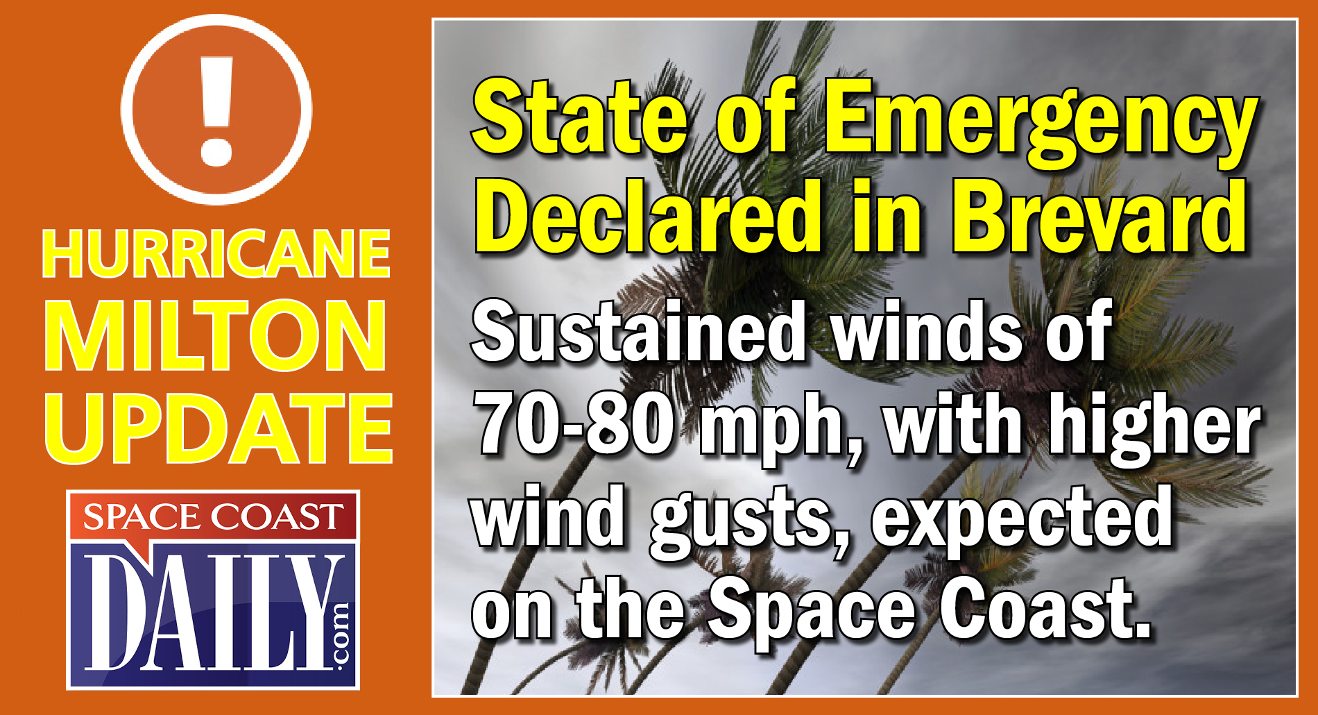
A Local State of Emergency was declared for Brevard County on Monday in response to the pending threat of Milton, which is a Category 5 hurricane slowly edging toward the west coast of Florida with a projected impact as a Category 1 hurricane in Brevard County starting Wednesday afternoon through late Thursday.
Brevard County is currently under a hurricane watch.
The latest forecast from the National Hurricane Center projects Brevard County could see 6-8 inches of cumulative rain, including this past Sunday through late Thursday; with 10-plus inches in isolated areas, and sustained winds of 70-80 mph, with higher wind gusts.
Gov. Ron DeSantis declared a state of emergency for Hurricane Milton on Sunday.
An emergency declaration provides avenue for counties to expedite contractual procedures, rental of equipment, employment of permanent and temporary workers, acquisition of supplies, materials and facilities and appropriation and expenditure of public funds.
The emergency declaration was signed by Brevard County Commission Chair Jason Steele.
With the National Hurricane Center’s forecast of a major hurricane that will strike the west coast of Florida and will bring hurricane conditions to Brevard County, longtime Central Florida Meteorologist and Space Coast Daily correspondent Danny Treanor offers some sage advice and reminders on how to prepare for a storm. CLICK HERE TO WACH
WATCH: National Hurricane Center Director Dr. Michael Brennan provides an 11 a.m. update on now Major Hurricane Milton.
WATCH: Florida Gov. Ron DeSantis provided a Hurricane Milton update Monday morning as Brevard residents all over the county scramble to prepare for Hurricane Milton with miles-long bumper-to-bumper traffic for sandbags. DeSantis has declared a state of emergency for 51 counties ahead of Milton’s landfall on the Florida west coast. On the Space Coast, Peak Sustained Winds of 74 mph, Peak Wind Gusts of 87 mph, and total rainfall of 8 to 12 inches is forecast.

 Related Story:
WATCH: NHC Predicts Hurricane Conditions for Brevard By Midweek, Danny Treanor Provides Reminders on How to Get Prepared
On the Space Coast, Peak Sustained Winds of 70-80 mph, Peak Wind Gusts of 87 mph, and total rainfall of 8 to 12 inches is forecast on the Space Coast.
Florida Gov. Ron DeSantis provided a Hurricane Milton update Monday morning as Brevard residents all over the county scramble to prepare for Hurricane Milton with miles-long bumper-to-bumper traffic for sandbags.
DeSantis has declared a state of emergency for 51 counties ahead of Milton’s landfall on the Florida west coast. On the Space Coast, Peak Sustained Winds of 70-80 mph, Peak Wind Gusts of 87 mph, and total rainfall of 8 to 12 inches is forecast.
In anticipation of the potential impacts from Hurricane Milton, Brevard County is offering free sandbags for residents, which opened at 8 a.m. Monday, and will close at 6 p.m.
The National Hurricane Center’s 1 p.m. report had Milton as a Category 5 with winds of 175 mph.
DeSantis said hurricane watches were in effect for more than 6 million people in west-central Florida and tropical storm watches are in effect for Florida’s Gulf Coast.
“Milton can bring a variety of life-threatening dangers, including an extreme storm surge of 10-15 feet along and near the coast, including in the Tampa Bay area, destructive winds and major flooding to one of the most densely populated parts of Florida, the I-4 corridor, especially from Tampa toward Orlando,” said AccuWeather Chief Meteorologist Jon Porter.
With the National Hurricane Center’s forecast of a major hurricane that will strike the west coast of Florida and will bring hurricane conditions to Brevard County, longtime Central Florida Meteorologist and Space Coast Daily correspondent Danny Treanor offers some sage advice and reminders on how to prepare for a storm. CLICK HERE TO WACH
Sandbag Sites open from 8 a.m. to 6 p.m., Monday, Oct. 7:
■ Chain of Lakes Park, 2300 Truman Scarborough Way, Titusville, FL 32796.
■ Mitch Ellington Park, 577 Hall Road, Merritt Island, FL, 32953. Enter from West Hall Road.
■ Wickham Park, 2500 Parkway Dr., Melbourne, FL 32935. Enter using south access from Parkway Dr.
■ Eastern Florida State College-Palm Bay Campus, 250 Community College Parkway SE Palm Bay, 32909
Sand is being provided by Brevard County Public Works and the Brevard County Sheriff’s Office will have supervised inmate work crews filling and loading sandbags for residents.
Residents do not need to bring sandbags, bags are provided and filled by on-site personnel. There is a limit of 10 sandbags per vehicle. Please be aware, lines may be closed earlier than 6 p.m. to ensure a timely closure.