NATIONAL WEATHER SERVICE: Rip Current, High Surf Advisory in Effect for Brevard County
By Space Coast Daily // December 19, 2019
High Rip Current Risk in effect UNTIL 7 p.m. Friday, High Surf advisory in effect until 7 P.M. Sunday
BREVARD COUNTY, FLORIDA – The National Weather Service in Melbourne has issued High Surf and Rip Current Advisories for Brevard County.
The High Rip Current Risk is in effect through 7 p.m. Friday and the High Surf advisory will be in effect until Sunday at 7 p.m.
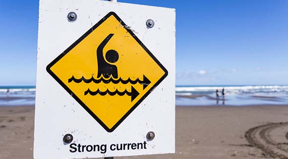
The National Weather Service in Melbourne advises for the High Surf Advisory, large breaking waves building to 5 to 7 feet are forecasted. For the High Rip Current Risk, numerous strong, dangerous Rip Currents are expected that would creating dangerous swimming and surfing conditions.
There will be localized beach erosion around the times of high tides and Rip Currents can sweep even the best swimmers away from shore into deeper water.
The next high tides along the central Florida Atlantic coast will occur between 1:30 p.m. and 2 p.m. Thursday afternoon, around 8 p.m. Thursday, between 2:15 p.m. and 2:30 a.m. Friday morning, and between 2:30 p.m. and 3 p.m. Friday afternoon.
The threat for Rip Currents will be the highest Thursday this afternoon after 5 p.m.
On Friday, the Rip Current threat will be highest through 11:30 a.m. and right around the time of sunset at 5:30 p.m.
STAY TUNED TO SPACE COAST DAILY FOR UPDATES
 Related Story:
Exploration Tower at Port Will Provide Panoramic View of Atlas 5 Starliner Launch Dec. 20


