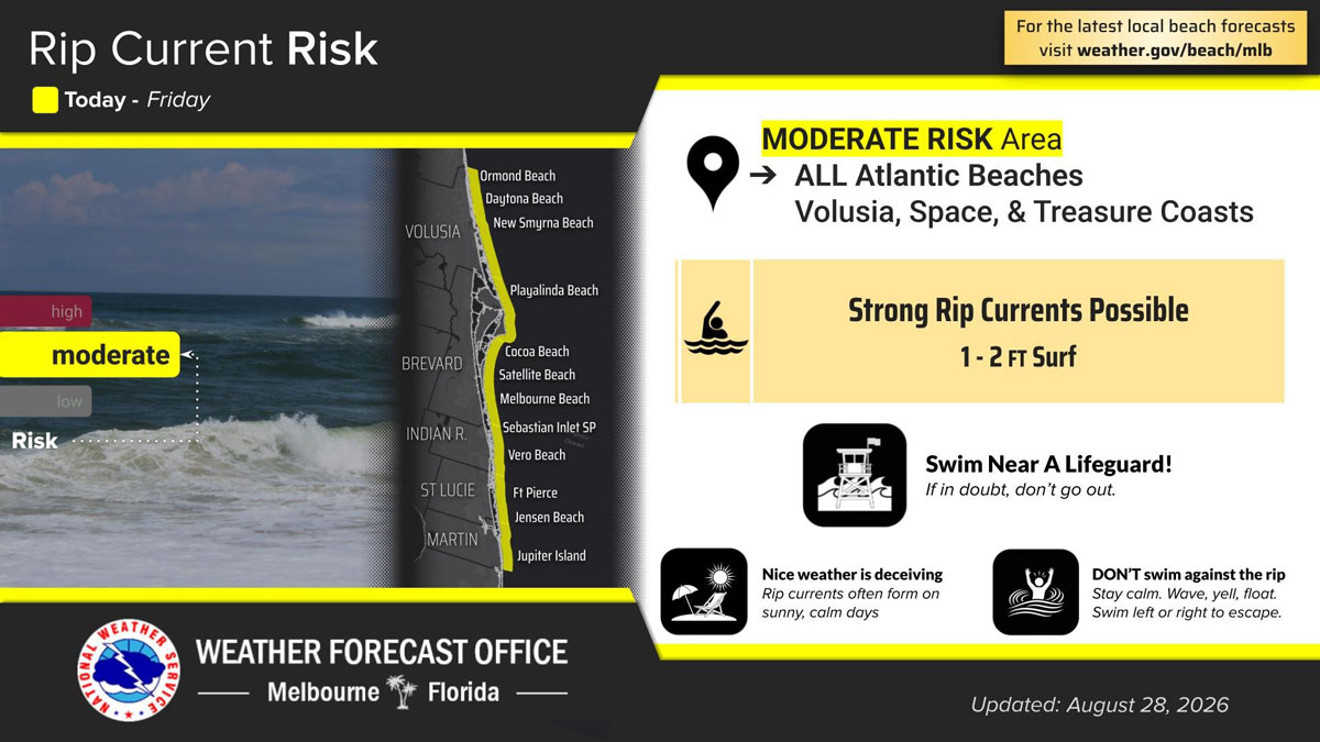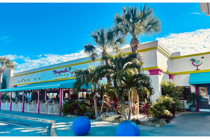
Afternoon Storms, Dangerous Rip Currents Forecast Across Brevard County
By Space Coast Daily // August 28, 2026
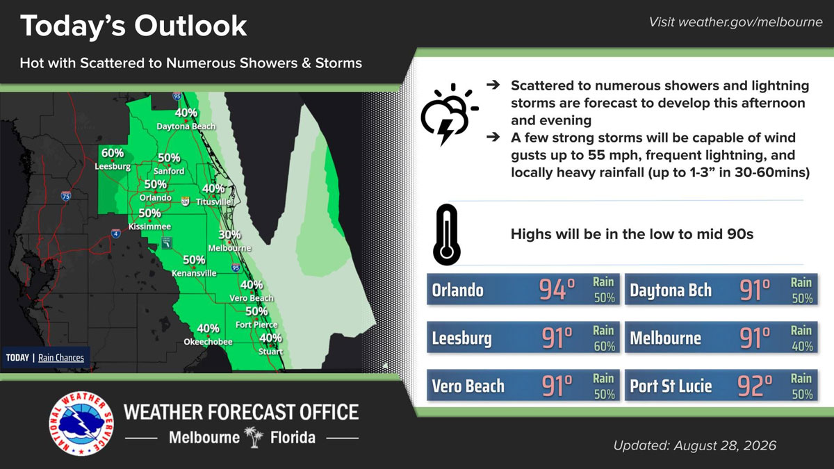
BREVARD COUNTY, FLORIDA – Brevard County residents can expect another hot and stormy day Friday, with scattered to numerous showers and lightning storms forecast to develop during the afternoon and evening.
According to the National Weather Service in Melbourne, a few storms could become strong, producing wind gusts of up to 55 mph, frequent lightning and locally heavy rainfall.
The strongest storms could drop between 1 and 3 inches of rain in just 30 to 60 minutes, potentially causing temporary flooding in low-lying and poorly drained areas.
Rain chances are expected to diminish by around 10 p.m.
Temperatures will climb into the low 90s across Brevard County, with Melbourne forecast to reach approximately 91 degrees. Rain chances are estimated at 30 percent near Melbourne and 40 percent around Titusville.
Beachgoers should also remain cautious, as a moderate risk of dangerous rip currents is forecast along all Atlantic beaches in Brevard County and throughout the Space and Treasure coasts.